Kentucky, the first state to capture oblique photography of its entire geography from the sky.
Republished from WEKU.
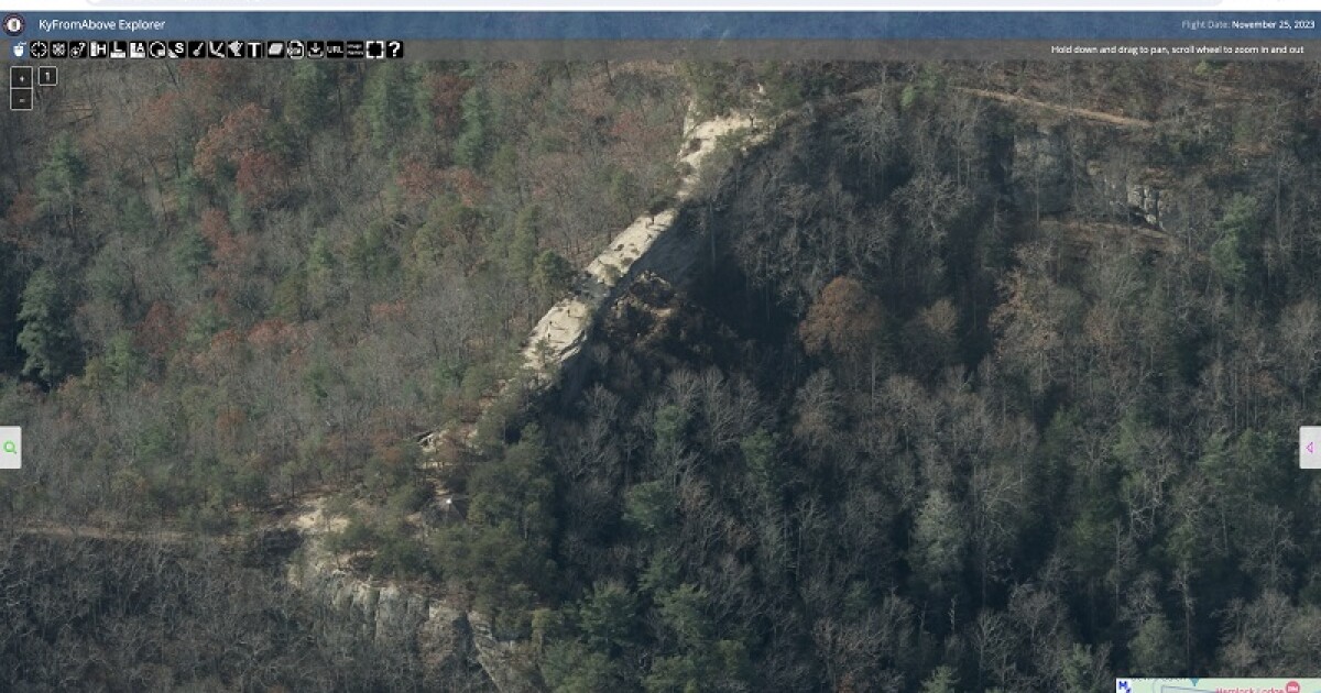
Kentucky is now the first state in the nation to capture oblique photography of its entire geography from the sky. This is photography taken from a side angle, or parallel view.
Kent Anness is the Geographic Information Officer for the Commonwealth of Kentucky. He said this will have multiple uses, especially when it comes to first responders.
“For examples, one of the first integrations that is occurring is in the 911 call centers. So, for example, when they get a call, there is a dot on the map, they can click on that, it launches this viewer and it lets them see that structure from four different sides.”
Aerial images make it easier for emergency management leaders to assess damage after natural disasters and find safer places to rebuild. They can also enhance:
economic site development and selection;
- plan and design work for infrastructure projects;
- broadband deployment;
- wildlife management;
- property assessment; and
- a variety of projects undertaken by engineers, surveyors, real estate firms, commercial developers, roofing and fencing contractors, consultants and other professionals.
Anness said typically, images like this are considered licensed products, but that will not be the case here.
“I think that is another unique thing about this. We’re putting it in the public domain, this data is being stored in a public facing AWS S3 bucket, it’s very discoverable, you’re not going to have to have a username or password to access this data resource, it’s just going to be free and open to everyone.”
The Kentucky from Above Program and its contractor, N-V-5 managed this after pilots flew 2,600 flight lines over the commonwealth, traveling 117,000 miles and capturing 40,660 square miles. More about the program can be found here.
** WEKU is working hard to be a leading source for public service, and fact-based journalism. Monthly supporters are the top funding source for this growing nonprofit news organization. Please join others in your community who support WEKU by making your donation.
Originally published by WEKU.
Republished with permission.